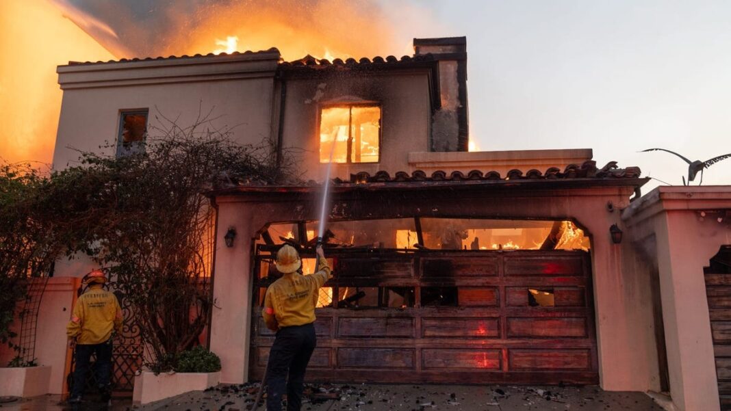
LA Fires: Recent Maps and Images Reveal Extensive Home Destruction
The wildfires in Los Angeles have led to severe destruction, resulting in the loss of countless homes. While a complete evaluation of the property damage will likely take months, inspections are already underway.
Initial maps released by Los Angeles County offer a comprehensive, building-by-building overview of the destruction within the Eaton and Palisades fire zones. These maps, which are refreshed daily, detail the type of structures affected, distinguishing between commercial and residential properties, and identifying whether they are single-family or multifamily homes. Each building assessed is paired with an image illustrating the level of damage.
You can enter a property address to find out how badly it has been affected. If there is no indication at that address, it means the property has yet to be reviewed. This may change as further information is released.
Properties sustaining over 50% damage are deemed destroyed. Those with damage between 26% and 50% are categorized as having significant damage, while buildings with 10% to 25% damage are classified as having minor damage, and those with less than 10% are considered affected.

