Extreme cold weather returns, bringing snow to the Great Lakes
This Thursday, expect a significant Arctic chill impacting the Midwest and Northeast, along with more lake-effect snow affecting the Great Lakes area.
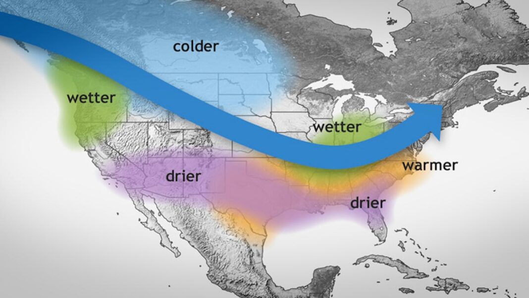
A surge of cold air linked to a high-pressure system will sweep into the Upper Midwest on Thursday, resulting in temperatures 15 to 25 degrees below the seasonal average in parts of the northern Plains and upper Mississippi Valley, alongside dangerously low wind chill numbers. Cold weather alerts have been issued for regions in North Dakota, Minnesota, and Wisconsin, according to the National Weather Service:
“Wind chills could plunge to as low as 35 degrees below zero, leading to frostbite on exposed skin in just 10 minutes,” cautioned the weather service based in Duluth, Minnesota.
AccuWeather meteorologist Alex Sosnowski noted, “While the frigid air will lose some strength as it passes over the bare land in the Midwest and the somewhat warmer waters of the Great Lakes, it will still deliver a noticeable chill as far south as the Ohio and Tennessee valleys, and reaching the eastern Appalachians and the Atlantic coast from Thursday through Friday.”
In the West, the strong Santa Ana winds are expected to subside in Southern California, aiding efforts against the Franklin Fire in Malibu.
Lake-effect snow impacts the Great Lakes
Heavy snowfall directly east of the Great Lakes is anticipated on Thursday, according to the weather service.
Regions such as northern Michigan, southwestern Ontario, northeastern Ohio, and northwestern Pennsylvania could see accumulations of 12-24 inches of snow, according to AccuWeather. However, certain areas in western and northern New York may experience even heavier snowfall, with totals ranging from 24-36 inches.
As we transition from Thursday night into Friday, snowfall should decrease in intensity across most areas. However, the weather service indicates that moderate to heavy lake-effect snow will reemerge downwind of Lake Ontario on Friday.
Decline of Santa Ana winds
The harsh Santa Ana winds that have affected Southern California this week, contributing to the Franklin Fire in Malibu, are projected to diminish by Thursday. Humidity levels are also expected to increase, supporting fire control efforts.
On Thursday, rain and snowfall at higher elevations are set to arrive in Central California, potentially bringing light snow to the Sierra Nevada over the upcoming days, as reported by the weather service.

