Tampa Bay Avoided Major Storm Surge from Hurricane Milton. Here’s the Explanation.
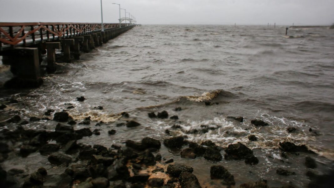
Water levels in Tampa Bay were normal again by Thursday. The area experienced a ‘reverse storm surge’ that pushed water away from the coast.
On Thursday morning, water levels in Tampa Bay had returned to their normal state following Hurricane Milton, which briefly caused a “reverse storm surge” in the area.
According to Tyler Fleming, a meteorologist with the National Weather Service, Tampa Bay was fortunate to avoid the expected severe storm surge, instead experiencing a reverse surge that pulled water away from the shore.
The State Division of Emergency Management cautioned residents on social media Wednesday night against venturing into the receding water, warning that “the water WILL return through storm surge and poses a life-threatening risk.”
However, by Thursday morning, the situation was safe. Meteorologist Stephen Shiveley confirmed to YSL News that water levels in the bay were “returning to normal.”
Why Did Tampa Escape Storm Surge?
Typically, storms that hit land south of Tampa lead to a reduced storm surge in the area.
Hurricane Milton made landfall just over 20 miles to the south of Tampa, enabling Tampa Bay to narrowly avoid the worst of the storm surge.
While water levels surged at coastal gauges south of Siesta Key and Sarasota during Milton’s landfall, gauges around the bay dropped significantly.
Tampa’s Luck Continues
Once again, Tampa Bay was spared from significant storm surge, according to AccuWeather hurricane specialist Alex DaSilva. The city has maintained an impressive record of avoiding direct hits from major hurricanes, including Milton.
Since 1921, Tampa has not faced a direct hit.
DaSilva mentioned there is no identifiable geographical, topographical or meteorological reason for Tampa’s lucky streak. “They got very, very lucky,” he remarked.
Movement Patterns Matter
The final landfall of Milton occurred within the hurricane center’s “cone of uncertainty.”
As expected, small last-minute shifts in Milton’s path greatly determined where it landed and consequently where the most severe storm surge would occur, according to DaSilva.
“Fortunately for Tampa, it struck south, near Sarasota,” he added.
Understanding Reverse Storm Surge
Storm surge is what occurs when a tropical storm or hurricane pushes water towards the shoreline, often causing destructive flooding in coastal areas, bays, and inlets.
This phenomenon was observed in Florida during Hurricanes Irma and Ian, as explained by WeatherTiger meteorologist Ryan Truchelut.
In a reverse storm surge, particularly with larger storms, the opposite happens, according to AccuWeather meteorologist Paul Pastelok, who discussed the aftermath of Hurricane Ian. “It can draw the water out since the wind flows from land towards the ocean, causing the water to recede,” he noted. “The wind power is astonishing.”
The result can reveal dry ground in some areas, especially along the coastline, said Pastelok.
This phenomenon can occur with any hurricane, regardless of whether it strikes the eastern U.S. coast or the Gulf, as per the National Weather Service in the Tampa Bay region.
Causes of Reverse Storm Surge
Typically, storm surge can be expected near and to the right of where a storm makes landfall, but negative water levels can be observed to the left of the landfall site, as noted by meteorologist Ernie Jillson from the weather service. During Hurricane Ian, Tampa Bay was positioned on the left side of landfall with winds coming from the northeast.
It seems this pattern repeated with Milton on Wednesday.
The shape of the waterway influences this effect, and bays are particularly vulnerable because they resemble a bowl of water,” Jillson explained to YSL News. “They’re surrounded by land on all sides except for one, which makes them prone to being emptied considerably.”
The extent of this dramatic effect depends on the storm’s strength, according to Pastelok.
(This story has been updated with new information.)

