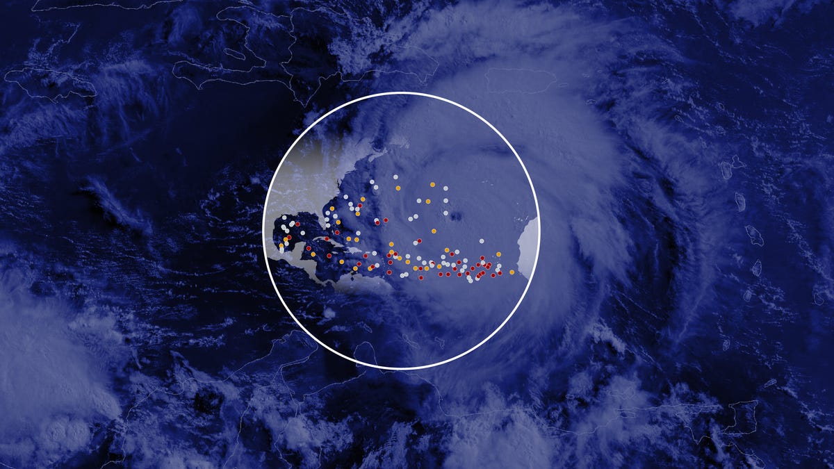
Calm before the storms: The peak of a busy hurricane season is near
The peak of the Atlantic hurricane season, which occurs on September 10, is coming quickly. The National Hurricane Center indicates that most of the hurricane activity tends to happen between mid-August and mid-October. As of Tuesday morning, the tropical Atlantic was quiet, but this is expected to change, with an active forecast for the rest of the season.
On average, an Atlantic hurricane season may see about 14 named storms, out of which seven typically develop into hurricanes, and three into major hurricanes.
How many named storms have occurred this year?
Route of the storms
“This hurricane season started early and with force, highlighted by Hurricane Beryl, which is the earliest Category 5 hurricane on record for the Atlantic,” said NOAA administrator Rick Spinrad. “The recent update from NOAA serves as a crucial reminder that the peak of the season is approaching—the time when significant impacts from both hurricanes and tropical storms have historically been felt.”
Hurricane predictions
According to NOAA’s recent seasonal outlook, this year could experience between 17 to 24 named storms, which would include 8 to 13 hurricanes and 4 to 7 major hurricanes, concluding with the season’s official end on November 30. These projections include the storms that have already occurred this summer.
Current atmospheric and ocean conditions suggest a hurricane season that is above average in 2024, with a likelihood of 90%. There is only a 10% chance of a near-normal season and negligible chance for below-normal activity.
Building up to a busy hurricane season
Historically, about two-thirds of Atlantic hurricane activity is noted between August 20 and October 10.
From August 20 to September 2 marks the period when Atlantic tropical cyclone activity typically intensifies. The main area where significant hurricanes form in late August is in the eastern and central tropical Atlantic regions.
Why is September considered the peak month for hurricane activity?
Two key conditions contribute to making September a peak time for tropical storm development: ocean surface temperatures and varying wind shear levels. Ocean surface temperatures of 80 degrees Fahrenheit or more provide ideal conditions for hurricane formation, with peak temperatures usually occurring in September and October. Additionally, upper-level winds can impede or damage storms by disrupting their formations; wind shear is typically lower from mid-August through mid-September.
Factors influencing this year’s forecast
This summer’s dry Saharan air, which hindered the development of tropical storms, is anticipated to lessen in August. The Atlantic Ocean basin is predicted to be highly active due to several elements:
- Warmer-than-usual sea surface temperatures in the tropical Atlantic and Caribbean regions.
- Reduced vertical wind shear.
- Weaker trade winds throughout the tropical Atlantic.
- A more robust West African monsoon.
Contributing: Doyle Rice
Sources: YSL News Network reporting and research; NOAA; Department of Atmospheric Science, Colorado State University

