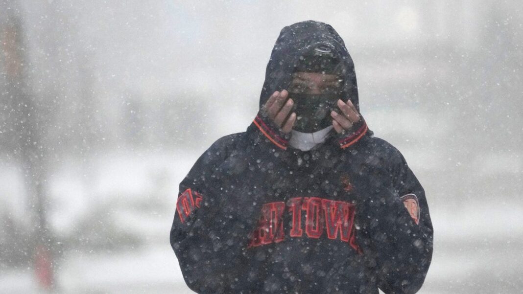
First snowfall of the season blankets multiple states: What to expect this winter?
Snow made its seasonal debut across parts of the Eastern U.S. on Thursday and Friday, with flurries even reported in the mountains of North Carolina.
This unexpected cold snap and snowfall represent a significant shift from the previous mild autumn weather in the area.
In the Northeast, areas with higher elevations experienced the most snowfall. Nonetheless, regions in central and northern Pennsylvania, as well as south-central New York, also saw some accumulation, with total amounts reaching up to a foot in various locations, according to the National Weather Service.
The Midwest also saw its first snow on Thursday, with Milwaukee and Indianapolis recording their first flakes of winter.
However, it’s important not to read too much into the snowfall in November. Meteorologists explain that the first snow doesn’t provide much insight into what the rest of the winter will be like.
Jim Steenburgh, an atmospheric scientist at the University of Utah, remarked in a recent interview with YSL News that the connection between early snow in autumn and snow in winter is “tenuous,” indicating that an early snowfall does not automatically predict a snowy winter.
Another meteorologist, Judah Cohen from Atmospheric and Environmental Research, echoed this sentiment, stating the correlation between early snowfall and a snowy winter is “weak.”
Cleveland’s snow and a blizzard in West Virginia
In Northeast Ohio, snow fell in Cleveland Thursday evening during the football game between the Browns and the Pittsburgh Steelers, providing a wintery scene for the match. Officially, 0.8 inches of snow were recorded in Cleveland on Thursday.
In the ridges of western Maryland and the southwestern Pennsylvania mountains, total snowfall could reach between 6 and 12 inches by the time the storm diminishes later Friday, according to AccuWeather.
A blizzard warning remained active on Friday morning in parts of the West Virginia mountains, where an additional accumulation of 9 to 14 inches was expected, alongside wind gusts potentially reaching 50 mph.
Western North Carolina experiences its first snow
In western North Carolina, significant snowfall marks the region’s first winter flakes, as it recovers from the damage inflicted by Hurricane Helene. Weather service predictions indicate that accumulations of 2 to 3 inches are likely at lower elevations, while higher ridgelines may see 4 to 6 inches, with some isolated areas expecting up to 8 inches.
“The heaviest snow is anticipated through Friday morning,” stated AccuWeather’s senior meteorologist Adam Douty. “Some areas currently seeing snow might experience wintry conditions extending into Saturday.”
Forecasters predict a mild, dry winter for many regions in 2024-2025
Federal forecasters predicted in October that much of the southern U.S. and the East Coast can expect warmer-than-normal temperatures this winter. Additionally, the southern half of the U.S. – stretching from southern California to the Carolinas – is likely to experience below-average rainfall and snowfall, raising concerns about potential drought conditions.
“This winter, the development of a La Niña is expected to influence the weather patterns, particularly our precipitation forecasts,” remarked Jon Gottschalck, chief of the Operational Prediction Branch of the Climate Prediction Center, in a previous statement. However,
The Climate Prediction Center (CPC) noted that a weaker La Niña means there is a decreased chance of experiencing typical winter effects this season.
The CPC’s outlook encompasses the winter months of December, January, and February, which are collectively referred to as meteorological winter.

