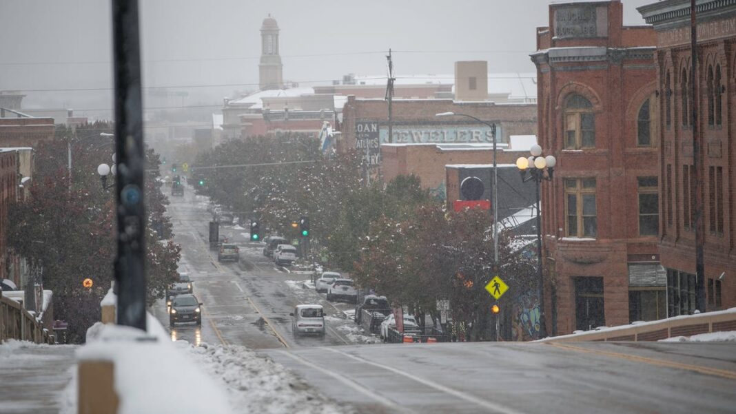
Massive snowfall reported in the West as another storm approaches
Another round of snowy conditions is expected Tuesday night in various parts of the U.S., following a weekend in which several areas in the West received several feet of snow.
The new wave of winter weather is moving toward the Pacific Northwest. Last week marked the arrival of the season’s first significant snowstorm, which left heavy, wet snow across parts of Colorado and New Mexico.
So, how much snow did we see? In some mountainous ski resorts of Colorado and New Mexico, snowfall reached between 3 to 4 feet, with portions of the eastern Plains of Colorado also seeing similar totals.
In some counties in Colorado’s Plains, snow accumulation ranged from 30 to 42 inches, averaging around 3 feet, as reported by David Barjenbruch, a meteorologist from the National Weather Service’s Boulder office, who stated to the Denver Post that “this storm will be remembered for quite some time.”
Significant snowfall accumulation
The highest reported snowfall accumulation reached 54.9 inches just 7 miles northwest of San Isabel, Colorado (located southwest of Pueblo), based on data from the National Weather Service.
Denver also experienced a remarkable event, accumulating 20 inches of snow, marking its third-largest November snowstorm in history, and the most substantial since 1983.
In New Mexico, Colfax County was covered by 40 inches of snow, while parts of Albuquerque experienced 7.5 inches. In response to the winter storm, Governor Michelle Lujan Grisham declared a state of emergency, releasing $1.5 million in state funds to assist agencies responding to the situation.
More snowfall expected
The National Weather Service has indicated that on Tuesday, “another Pacific frontal system along with an atmospheric river will approach the West, introducing a surge of moisture and causing heavier rain at lower elevations and mountain snow at higher altitudes.”
This system is expected to move inland, expanding areas of significant mountain snowfall in northern California and introducing a wintry mix to the northern Rockies and Great Basin by Wednesday.
In Northern California, AccuWeather forecasts most of the accumulating snow will occur above Donner Pass on I-80. However, there may be a short period from Thursday night to Friday when temperatures drop low enough for some accumulations there, potentially leading to slow and hazardous travel conditions, according to AccuWeather.

